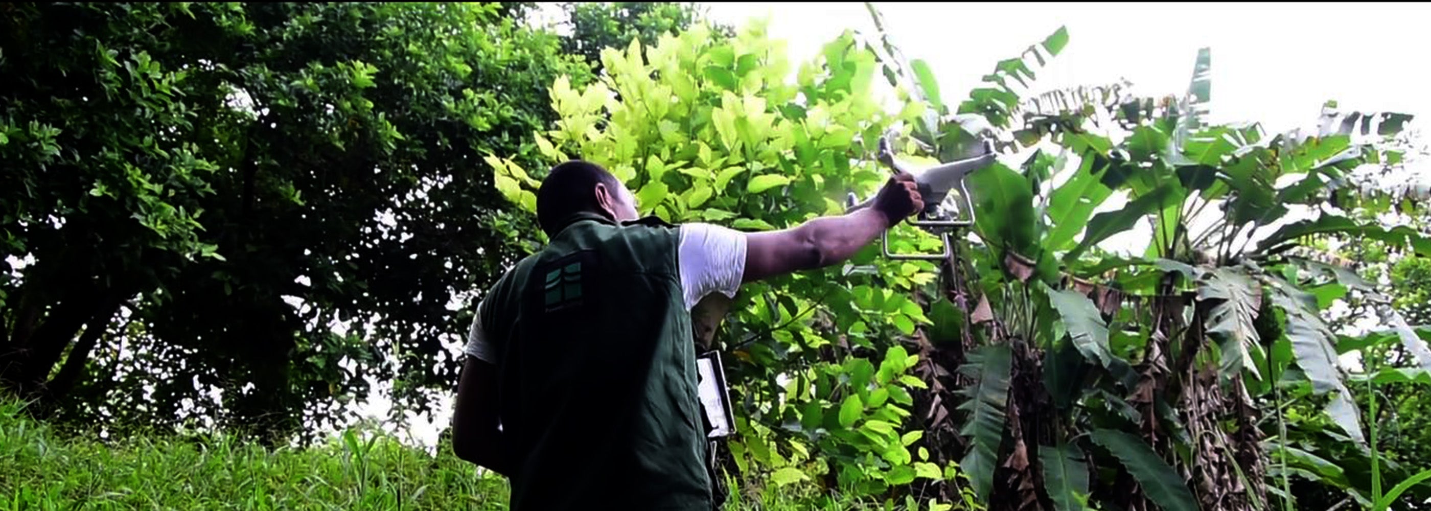
Optimizing Program Design with Cutting-Edge Tools
Our programs are meticulously designed for maximum efficiency. We employ Geographic Information Systems (GIS) for precise land assessment, utilize orthophoto studies, create 3D models for nurseries, and leverage geomatics tools. Our commitment to traceability is evident through rigorous record-keeping, while our synchronized applications ensure robust Monitoring, Reporting, and Verification (MRV). All these processes are supercharged by Artificial Intelligence (AI), ensuring we harness the full potential of our design capabilities.
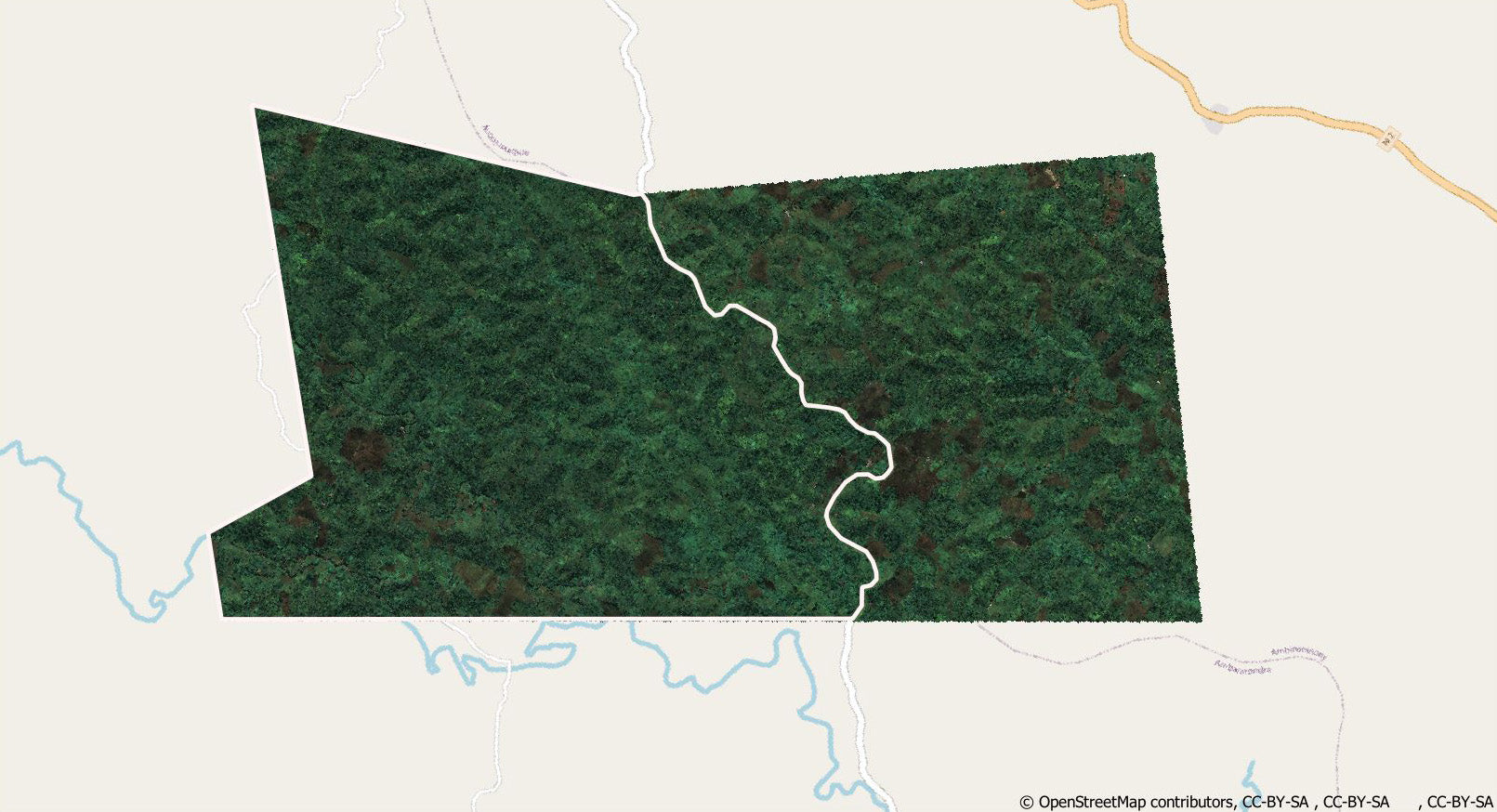
SAT Raw
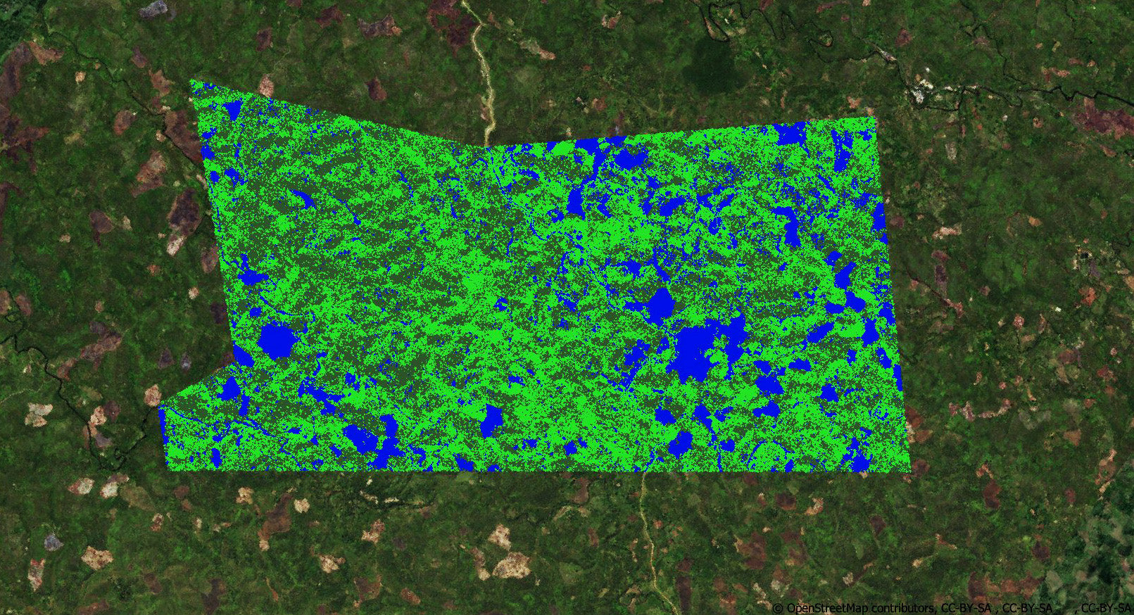
GIS Enhanced
Discover the Technology Behind Our Solutions
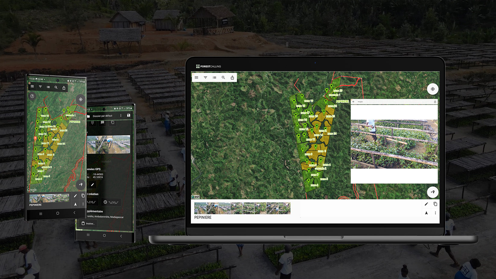
Monitoring & Reporting App
With our specialized apps, nursery workers monitor plantations in real-time. Data, including photos, is relayed weekly to our office tools, guaranteeing precise, transparent reporting.
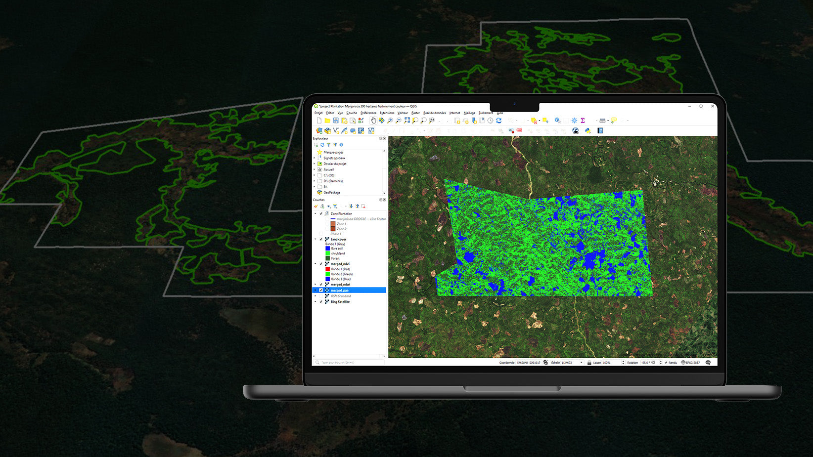
Geographic Information Systems (GIS)
Using GIS, we assess a decade of land changes to optimize planting. This ensures ideal zones, density, and tree counts for restoration purposes.
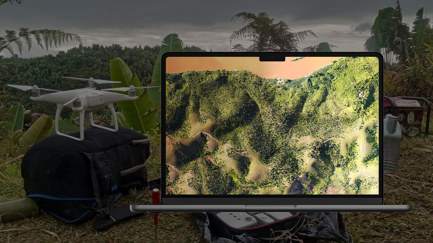
Orthophoto Imaging
Our teams employ drones to capture detailed orthophotos. Superior to satellite images, these photos refine our reforestation strategies with unmatched precision.
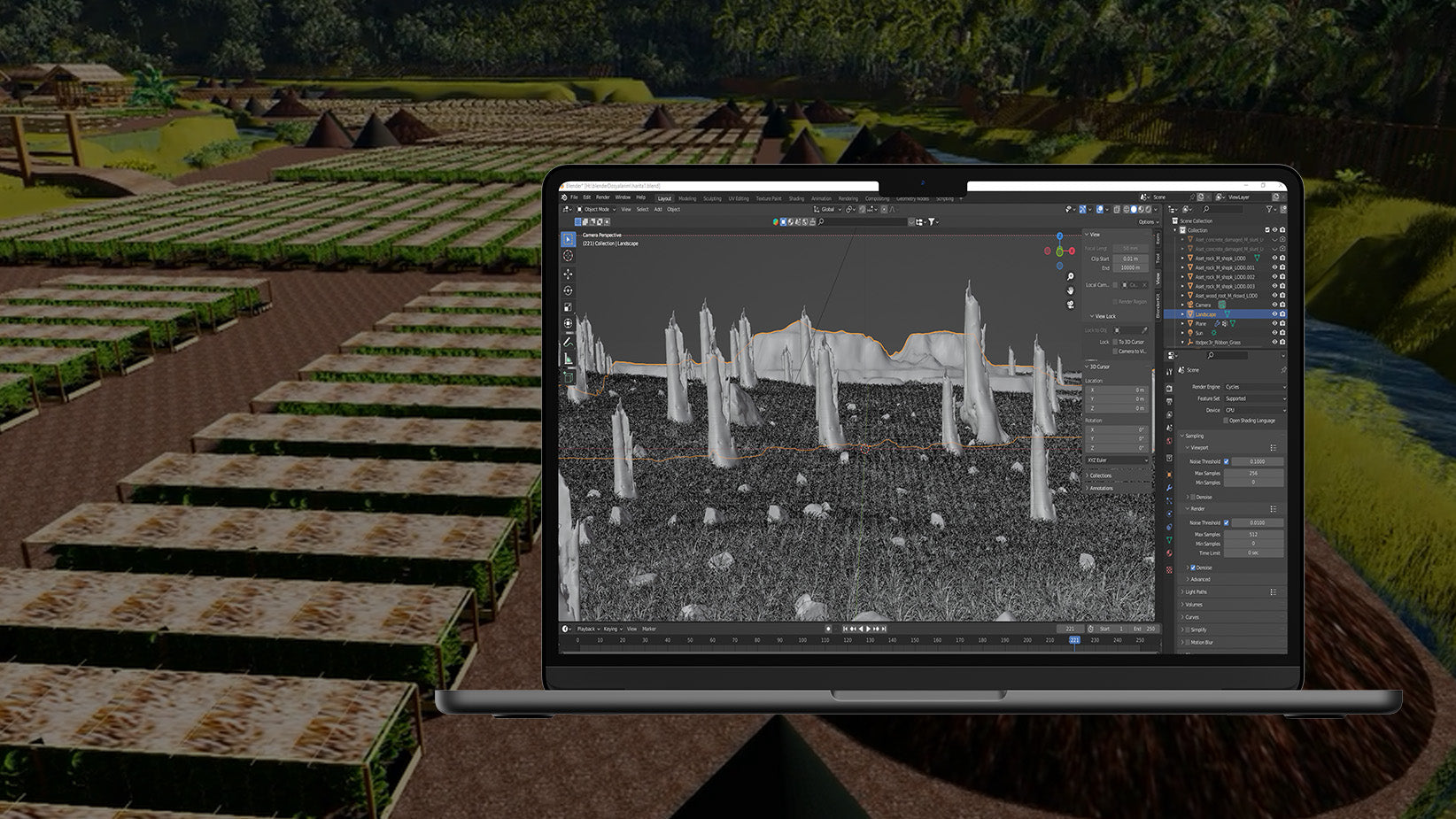
3D Nursery Design
Collaborating with architects, we use 3D modeling to design nursery plans. This method offers a detailed, optimized view of our intended initiatives.
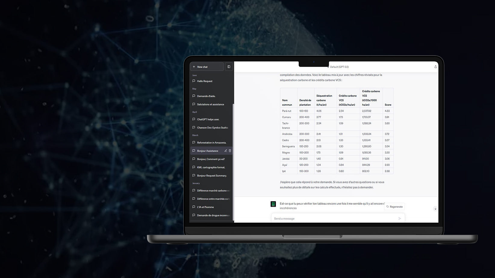
Artificial Intelligence (AI)
We integrate AI for rapid site analysis, model refinement, and risk assessment. This ensures our programs are both efficient and highly effective in design and execution.
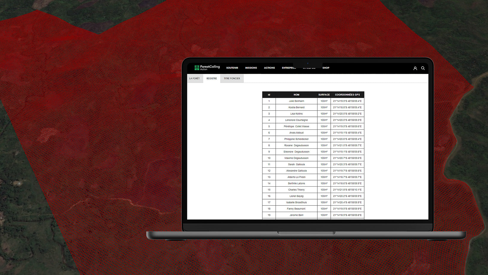
Geomatics Registry Tools
Our geomatic tools, paired with a proprietary system, offer unparalleled traceability. Forests are split into parcels, each recorded with GPS, ensuring transparency for each contributor.
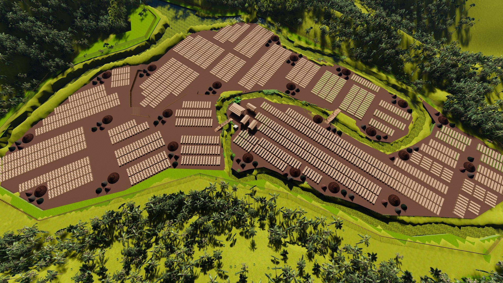
3D modeling

